
VISUAL ARCHIVE / IMAGE STORY
Marks Across Europa’s Ice
Spacecraft have mapped a fractured surface; the pictured terrain is an artistic interpretation.
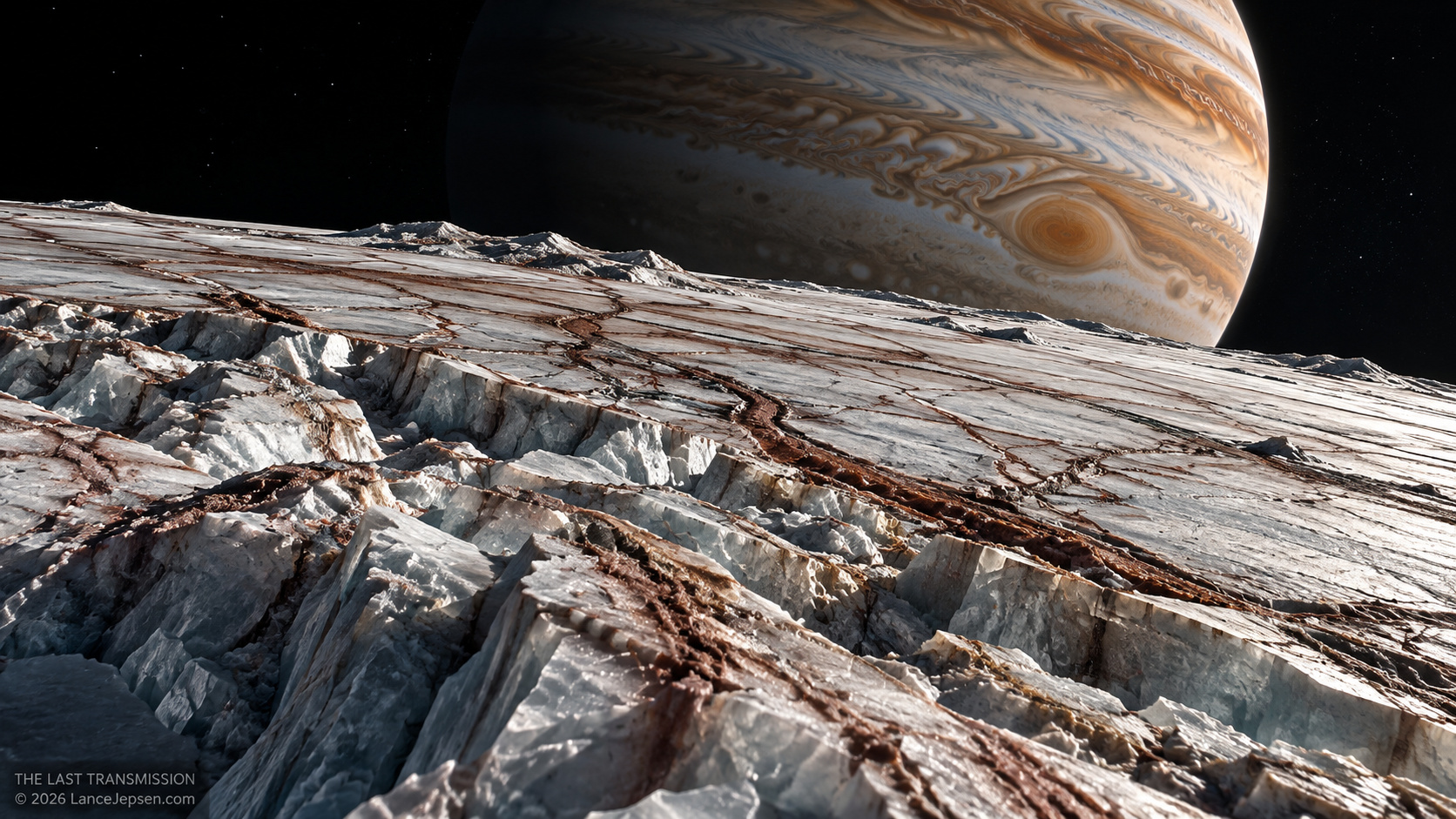
Europa’s real surface bears ridges, dark bands, and disrupted ice. This AI-generated scene interprets those features; it is not a spacecraft photograph. The Last Transmission. © 2026 DarkScienceDocs.com
THE OBSERVATION
What we can actually see.
Europa’s surface shows ridges, dark bands, and disrupted ice in spacecraft observations. These features tell us the shell has changed, but a surface image alone does not reveal the depth, salinity, or biological content of the ocean inferred by other instruments.
THE ILLUSTRATION
What the artwork imagines.
The perspective, lighting, and grouping of individual features present an invented walkable scene. It is not a Galileo or Juno photograph of a named region and should not be used as a map for sampling.
FROM THE ILLUSTRATED ARTICLE
The story that inspired it.
The article moves from the visible ice to a harder question beneath it: whether the water and rock can supply chemical energy over time.
Read Europa’s Ocean May Be Hiding a Terrible SilenceCHECK THE RECORD
The image interprets the research below. Follow the original work for the measurements and limits behind the scene.
NASA: Evidence for Europa’s oceanOTHER IMAGE STORIES
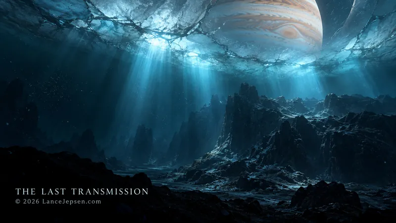 An Ocean We Have Never Seen
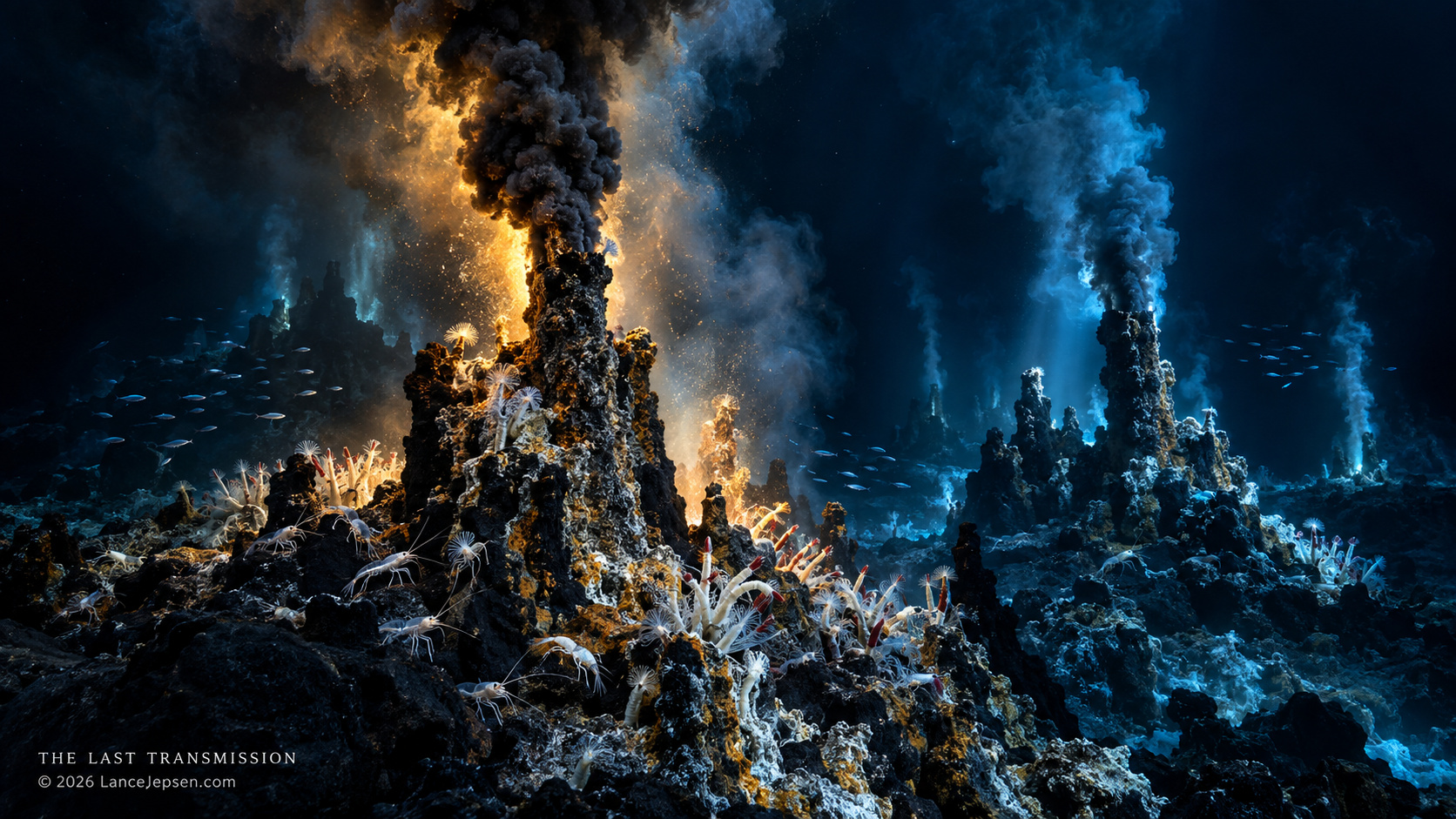 Earth’s Vents, Europa’s Question
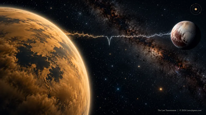 The Mark Shared by Titan and Pluto