
VISUAL ARCHIVE / IMAGE STORY
The Routes Beneath Rising Water
Changing sea levels altered possible paths through the Aegean.
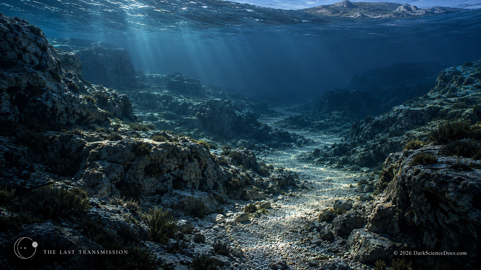
Rising seas covered terrain that may once have offered routes through the Aegean. This conceptual landscape imagines that loss; it does not identify a mapped prehistoric path or a discovered road. AI-generated illustration.
THE OBSERVATION
What we can actually see.
Pleistocene shorelines differed from today’s coast, so land and water crossings could have changed with climate. Specific journeys require archaeological evidence and paleogeographic reconstruction rather than a route drawn on intuition.
THE ILLUSTRATION
What the artwork imagines.
The drowned passage is an AI-generated possibility, not a discovered road. Its cliffs, travelers, and crossing cannot be assigned to a known migration event.
FROM THE ILLUSTRATED ARTICLE
The story that inspired it.
The article assembles several discoveries in Greece while keeping their ages, sites, and interpretations separate. Changing sea levels altered possible paths through the Aegean.
Read They Survived the Ice Age. We Still Don’t Know Who They Were.CHECK THE RECORD
The image interprets the research below. Follow the original work for the measurements and limits behind the scene.
Marathousa 1 archaeological studyOTHER IMAGE STORIES
 The Lives the Ground Cannot Name
 Excavating a Buried Greek Landscape
 The Mark Shared by Titan and Pluto