
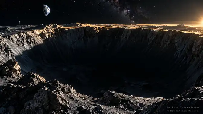
EVIDENCE FILE 28 / LUNAR SOUTH POLE
Does evidence of lunar polar ice establish a usable resource?
Does evidence of lunar polar ice establish a usable resource?
All Evidence FilesTHE SHORT ANSWER
It establishes scientific targets for investigation. The amount, distribution, physical form and recoverability of ice at a specific site require further measurements and engineering tests.
THE EVIDENCE MAP / LUNAR SOUTH POLE
Does evidence of lunar polar ice establish a usable resource?
Sunlit ridges and deeply shadowed crater floors make the lunar south pole scientifically valuable and operationally difficult. Evidence for ice is a starting point, rather than a proven inventory of usable fuel.
- 01Measurement
Start with terrain and sunlight
Lunar observations support the presence of water ice in cold polar environments. Orbital maps and images reveal temperature and terrain, while neutron measurements provide indirect evidence related to hydrogen. A detailed local resource estimate requires measurements at the scale and depth relevant to surface operations.
- 02Interpretation
Distinguish a hydrogen signal from an ice inventory
The article connects the Moon’s polar environment with the challenge of exploring and using it. Terrain affects sunlight, temperature, communications and access. Those constraints can make particular places attractive to multiple missions, while measurements of hydrogen and surface ice still leave questions about abundance, depth and recoverability.
- 03Competing explanation
Ask what extraction would require
Neither a cold shadow nor a hydrogen signal proves that a particular landing site contains readily extractable ice. Missions must establish local composition, concentration and engineering feasibility. Proposed installations and competing interests do not themselves demonstrate ownership of lunar ground.
- 04Open test
Keep the long-lived question separate from schedules
Separate a scientific detection from an economically usable deposit and from a claim of territorial control. That distinction keeps the question useful even as mission schedules and exploration plans change.
OBSERVATION / INFERENCE / LIMIT
Read the signal.
Permanent shadow
Some polar depressions remain cold because direct sunlight does not reach them.
Hydrogen and ice indicators
Different instruments constrain different properties and spatial scales.
Local recoverability
Abundance, depth, terrain and processing costs determine practical usefulness.
INSIDE THE EVIDENCE
The chain of reasoning.
Each step has a different level of certainty. Follow the measured result into the explanation, then see where the trail ends.
Start with terrain and sunlight
Near the lunar poles, a low Sun angle makes elevation and local relief central to the observing environment. A ridge can receive useful illumination while a nearby depression remains permanently shadowed. Those settings differ in temperature and operational constraints, so they cannot be treated as interchangeable patches of ground. Mapping illumination through time matters for planning power and surface activity. A dramatic shadow in a cinematic illustration conveys this contrast without measuring an actual site’s annual lighting conditions.
Distinguish a hydrogen signal from an ice inventory
Neutron measurements can reveal hydrogen-related changes in lunar material, supporting interpretations involving water ice when combined with environmental and other evidence. Their spatial resolution and sensitivity do not deliver a complete local excavation map. Surface observations, thermal information and composition measurements answer complementary questions. Researchers must consider whether material is exposed or buried, how concentrated it may be, and which physical forms are compatible with the data before describing a deposit in terms useful to a surface mission.
Use images for the questions they can answer
Orbital imaging can reveal crater morphology, slopes, boulders and previously difficult-to-see shadowed terrain. Seeing the ground more clearly helps with navigation and geological interpretation, but an image of a crater floor is not automatically a map of its ice abundance. Reflectance has more than one possible cause, and composition requires supporting measurements. The article’s cinematic views are conceptual illustrations rather than ShadowCam observations, landing-site surveys or photographs of working equipment inside a lunar polar crater.
Ask what extraction would require
Even if water ice is present, a usable resource depends on concentration, burial depth, accessibility and the energy needed to collect and process it. Cold, rough and shadowed terrain can make the material scientifically interesting while creating severe engineering difficulties. Water’s possible roles in life support or propellant production explain the incentive to investigate; they do not establish that a profitable or reliable supply already exists. Local sampling and practical demonstrations must bridge the gap between detection and operations.
Keep the long-lived question separate from schedules
Mission announcements can change without altering the scientific reasons to investigate polar terrain. The lasting questions concern what is present, how it arrived, how it has been preserved and whether people or robots can work there responsibly. The article also discusses access and competing exploration interests. Those issues require their own records and should not be inferred from an ice map. This Evidence File focuses on the observational and engineering chain, without treating a proposal as a completed mission or a discovery as ownership.
THE EASY MISREADING
A bright ridge is not permanently sunlit everywhere, a dark crater is not a confirmed ice mine, and a planned mission is not a completed resource survey.
PRIMARY RESEARCH & MISSION RECORDS
Check the source.
These are the studies and mission records behind this explainer. The illustrated article and related research pages continue the investigation.
FOLLOW THE THREAD
Stay with the question.
Sunlit ridges and deeply shadowed crater floors make the lunar south pole scientifically valuable and operationally difficult. Evidence for ice is a starting point, rather than a proven inventory of usable fuel.
Explore the Earth and Moon teaching modelMORE EVIDENCE FILES
Keep looking.
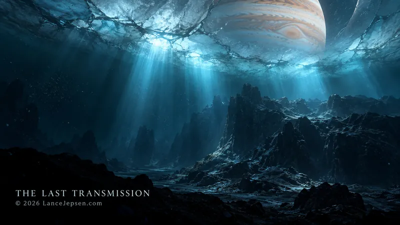
EVIDENCE FILE 01 / EUROPA
How Do We Know Europa Has an Ocean?
Galileo's magnetic measurements point to a conducting layer beneath Europa's ice. A salty ocean is the leading explanation. Its chemistry and seafloor activity remain open questions.
Read the evidence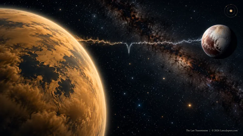
EVIDENCE FILE 02 / TITAN & PLUTO
What Is the 5.11-Micrometer Mark on Titan and Pluto?
The 5.11-micrometer absorption is measured on both worlds, but the Pluto feature is broader. A shared wavelength is a clue to investigate, not a chemical identification.
Read the evidence