
MARS ROVER EXPLORER / OLYMPUS MONS EXPEDITION
A mountain too vast
to see all at once.
Cross the broad slopes of Olympus Mons. Approach its summit, look into an enormous caldera, and discover why the tallest volcano feels different at ground level.
Take the long way up.
Select a starting place, then drive. Elevations come from Mars Global Surveyor’s laser altimeter. Vertical and horizontal dimensions use the same scale; Mars’s curvature shapes the horizon.
Choose Slow to inspect the craters and ledges. A smaller local dust storm sits on the Southern approach, between the rover’s starting place and Olympus Mons. Dust-storm approach starts just outside it; drive north to enter. The storm clears before the lower slopes and is hidden in the summit and regional overviews. Dust storm can be switched off, and cloud motion can be paused. Reduced-motion settings pause the clouds by default. Travel speeds above Slow compress the journey, not the terrain. Assisted exploration follows the ground across steep slopes and caldera walls; it does not predict rover capability. With assistance off, a coarse 15° slope limit applies as a teaching rule, not a Perseverance engineering limit.
 Illustrative southern dust storm · optional1:1 SCALE · OPTIONAL RECONSTRUCTED SURFACE RELIEF
The expedition loads only when you request it.
Hold a driving button, or focus the scene and use ↑ / ↓ / ← / → or W / S / A / D. Drag horizontally or vertically to look around. Release to stop. Movement pauses when the scene leaves the screen or the tab is hidden. Jump stops are illustrative viewpoints, not surveyed safe routes.
Measured mountain. Illustrated surface.
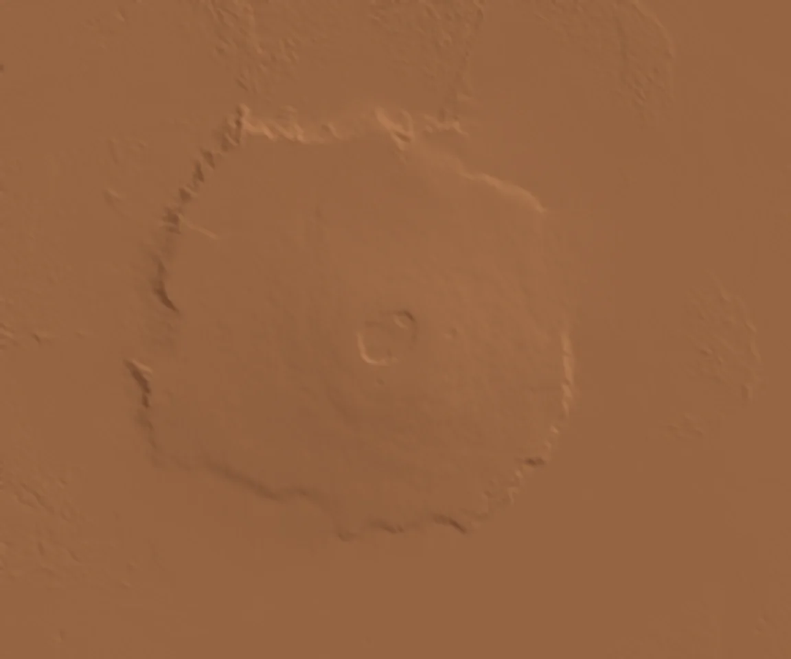
The regional terrain uses the MOLA MEGDR version 2.0 grid at 16 samples per degree—about 3.7 km north–south per source cell. The summit uses a finer 64-sample-per-degree crop, about 0.93 km north–south, resampled from the 128-sample-per-degree MOLA product. It is blended into the regional mesh at its edges. Choose Summit overview to see the nested caldera depressions at their measured proportions. The source combines median laser measurements with interpolated values in unobserved cells. Display interpolation smooths those cells; it cannot reveal individual boulders, wheel hazards or a safe driving route. The optional reconstructed surface relief adds rolling ground, shallow craters and eroded rocky ledges at ground level. Their locations and shapes are illustrative. Switch it off to inspect the measured elevation surface alone. The surface texture, dust patches and scattered rocks are artistic reconstructions, not orbital photographs or surveyed boulder locations. Decorative rocks do not add collision hazards. The regional mountain shape retains its measured scale; the added local relief is shown at the same horizontal and vertical scale.
Elevations are relative to the MOLA areoid, Mars’s gravity-based reference surface. The original regional grid’s highest sample is 21,171 m above that reference; the finer summit grid resolves additional detail. The commonly quoted roughly 22 km height describes relief above surrounding terrain; those measurements use different baselines.
This is a separate Olympus Mons expedition. Perseverance operates in Jezero Crater; it has not driven here. The rover model provides a familiar scale reference. The caldera contains overlapping collapse depressions; this view does not invent a lava lake or an accessible volcanic tunnel.
The southern dust storm is a fixed artistic weather scenario, not live Mars weather or a forecast. Its position, cloud shapes, accelerated churning motion and visibility are illustrative. The sky darkens with elevation in this illustrative daytime view, with a dusty haze near the horizon. It represents a thinner atmospheric column at altitude; the exact appearance depends on dust, season and lighting. It is not a calibrated atmospheric simulation.
Return to the Mars Rover Explorer →