
103 / ALIEN WORLDS & LIFE / FIELD NOTE
The Water Mars Hid in Rock
Follow minerals, seismic waves and polar radar to separate the water Mars lost, the water bound in its crust and the liquid that may remain.
A dry surface preserves a wetter history
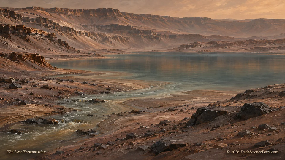
Mars carries the outlines of rivers, deltas and lakebeds across a landscape where exposed liquid water is difficult to sustain. Those features establish a substantial change in the planet’s environment. They leave a harder accounting problem: how much water escaped, how much became ice, and how much entered the rocks themselves?
The answer requires several kinds of evidence. A mineral collected by a rover, a seismic wave recorded by a lander and an echo received by an orbiter examine different materials and depths. Reading them together is useful only if we preserve the question that each instrument can actually answer.
Water can become part of a rock
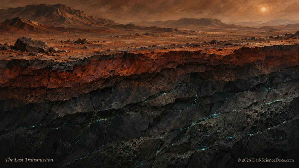
Hydrated minerals incorporate water or its chemical components into their structure. Models of Martian drying show that reactions with the crust could have stored a substantial part of the planet’s former surface inventory. This storage would persist even after a river vanished, because the water would have become part of a different material.
Curiosity adds another piece to the climate record. Its CheMin instrument identified siderite, an iron carbonate, in drilled samples from Gale Crater. Carbonate formation can transfer carbon dioxide into rock. The discovery helps connect water, atmospheric chemistry and changing surface conditions without requiring every missing molecule to have followed the same route.
A wave can suggest what a drill cannot reach
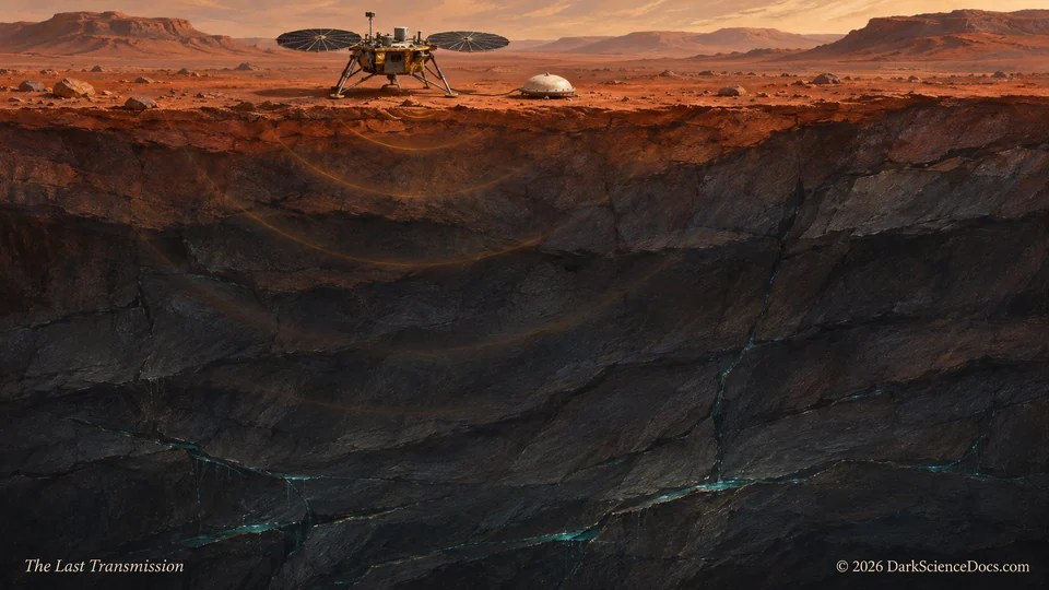
InSight listened to vibrations traveling through the ground beneath its landing region. Researchers compared the resulting crustal properties with rock physics models and found that water saturated fractures in the middle crust offered a plausible explanation. This approach extends the investigation far beyond the depth accessible to a rover drill.
The inference remains sensitive to assumptions about rock composition, porosity and the way cracks influence seismic waves. A regional model cannot supply a photograph of a reservoir or a complete map of the planet’s underground water. Further geophysical measurements could narrow the alternatives and test how broadly the interpretation applies.
The polar radar debate is a separate test
An unusually bright radar return beneath the south polar ice was interpreted as a possible buried lake. Enhanced observations by Mars Reconnaissance Orbiter’s SHARAD instrument subsequently found a faint return at the suspected location, favoring a rock and dust explanation in that analysis. The disagreement makes the instrument settings and material models part of the story.
This polar feature and the InSight result concern different regions and different measurements. Evidence against one lake interpretation does not decide the middle crust question. Their relationship is methodological: a promising explanation becomes more useful when an observation is designed to distinguish it from competing possibilities.
A reservoir would begin another investigation
Even a secure detection of liquid would leave temperature, chemistry, energy supply and persistence to be established. A potentially habitable setting would still leave the presence of organisms unresolved. The distinction gives future work a sequence: identify the material, reconstruct its environment, then test any biological claim in that geological context.
Explore Mars’s visible landscapes with those hidden questions in mind. A delta records where water once transported sediment. An altered mineral records a reaction. A seismic wave constrains inaccessible rock. Each opens a different part of the archive, and the most consequential account of Mars may require all of them.
Sources and further reading
- NASA: Curiosity’s siderite discovery and the carbonate question
- Scheller et al. (2021): water sequestration in the Martian crust
- Scripps: the InSight rock physics interpretation
- Wright, Morzfeld and Manga (2024): Liquid water in the Martian mid-crust
- NASA/JPL: enhanced SHARAD observations of the polar feature